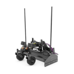
Operator Controls for a BB12X Box Blade on a Cat Skid Steer
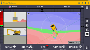
 The ‘Advanced Mapping’ feature in Earthworks gives users the ability to display cut / fill differences between the pre-recorded data map and the guidance surface. The map that is generated to display is called a ground surface.
- Example: If the ground surface is based on a survey of the original site, the initial map could enable you to move dirt around the site more efficiently.
- Note: The ability to select a ground surface is a licensed feature. Contact your dealer for more information.

